Services › Field Mapping & Aerial Surveying Image 1 of 1 Field Mapping & Aerial Surveying £0.00 Drone-based mapping to capture field data and support informed farm management decisions. Add To Cart Added! Drone-based mapping to capture field data and support informed farm management decisions.


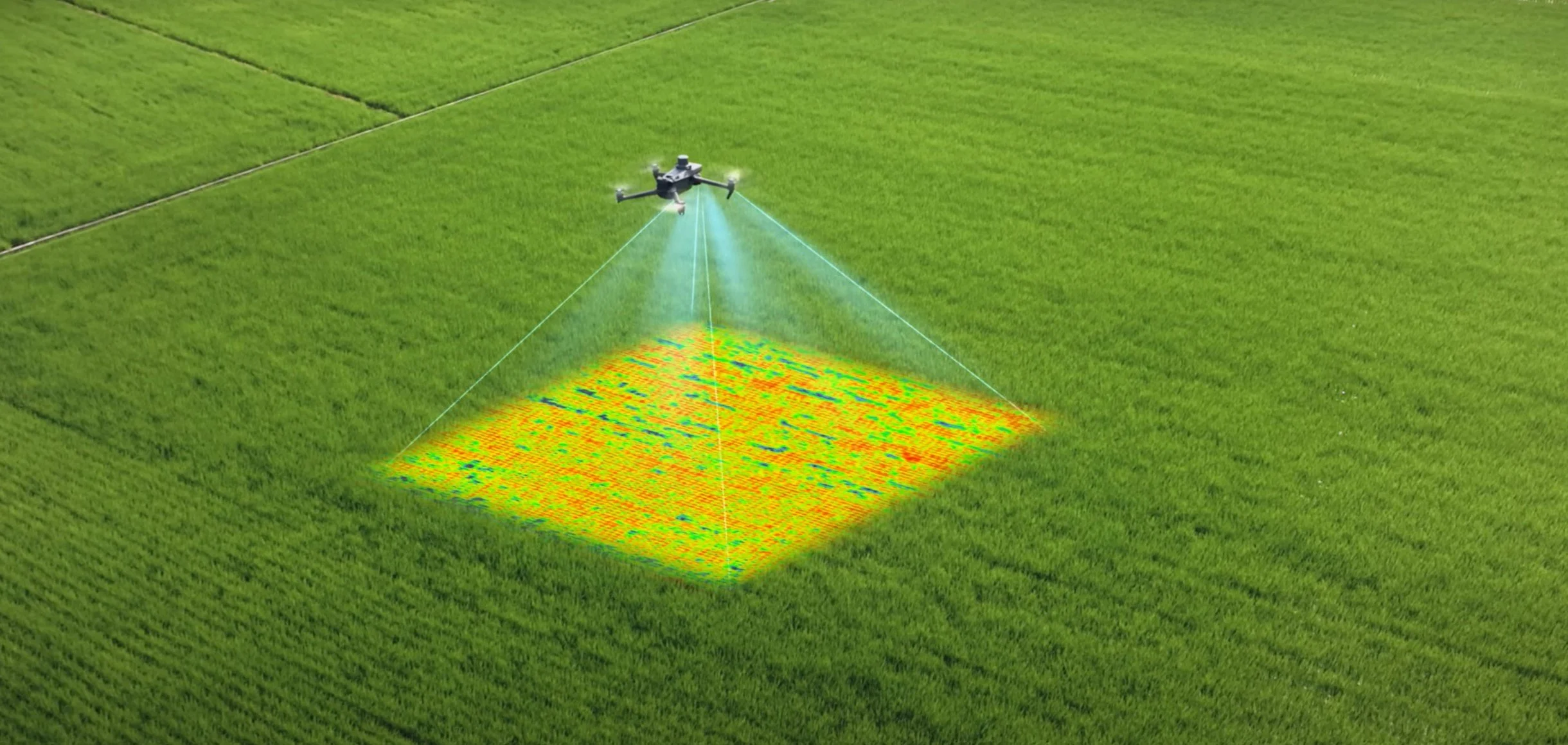 Image 1 of 1